 Neuriya
Different terrain.
The same need for proof.
Start with solar operations. Explore adjacent applications through the decisions, evidence, and verification they require.
Make the workflow concrete.
A more deliberate inspection queue.
Connect site-scale changes, drone observations, and operational context to help an asset team decide which inspections deserve attention. Satellite imagery supports site context; equipment-level faults require suitable higher-resolution data.
- Inputs: site imagery, thermal drone surveys, maintenance records.
- Decision: where to send the next available inspection team.
- Verification: compare a field finding and maintenance outcome.
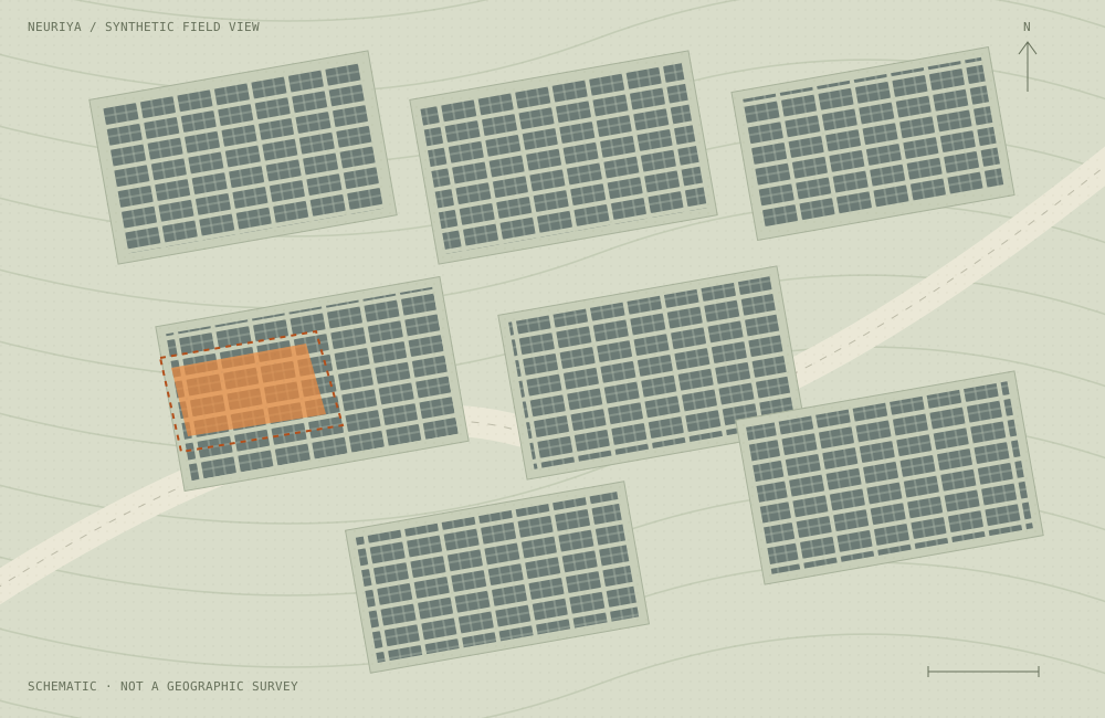
ILLUSTRATIVE FIELD VIEW / SYNTHETIC DATA
A practical place
to start the loop.
Help an asset manager turn mixed inspection evidence into a defensible visit plan.
Site imagery may reveal broad changes. Drone surveys may provide equipment-level detail. Operational records can explain weather, curtailment, outages, or previous work. Each input has a different role.
- Connect observations to a known site and asset.
- Review context before attributing an operational change.
- Prioritize inspection within a defined budget.
- Confirm a finding through qualified field review.
From contrast to inspection.
Observe
A thermal drone survey contains a localized contrast.
Investigate
Compare survey conditions, recent work, and operational context.
Prioritize
Review the case against severity, evidence, and visit cost.
Verify
A technician records what was found and what changed.
Locate the question.
Validate it in the field.
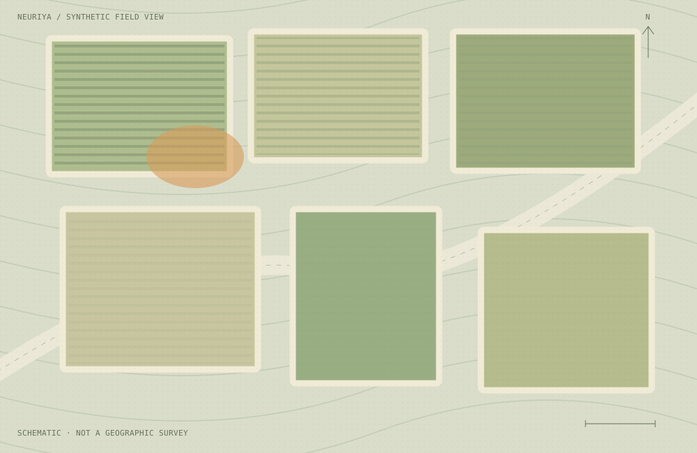
Use unusual vegetation response to guide investigation, with crop stage, weather, and irrigation in context.
A spectral difference does not establish a specific deficiency or root-zone condition. The useful action may be better observation, a field visit, or appropriate sampling.
- Buyer: agronomy teams or operators managing multiple fields.
- Inputs: suitable imagery, crop context, weather, and field records.
- Decision: where to investigate before recommending treatment.
- Proof: comparison against independent field measurements.
A traceable case.
Before an escalation.
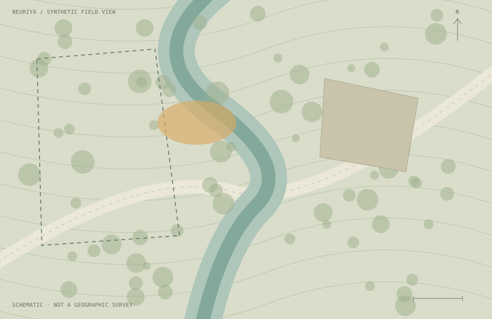
Document a surface change, examine plausible causes, and decide where additional measurement is warranted.
An apparent change near a watercourse or boundary should carry its observation history and data limitations. Chemical identification or emission quantification needs suitable measurements and validated methods.
- Buyer: environmental site managers and review teams.
- Inputs: licensed imagery, site records, and qualified field evidence.
- Decision: whether and where to commission investigation.
- Proof: sampling, independent review, and documented resolution.
Measure the workflow
from more than one seat.
| Role | Question to answer | Useful pilot measure |
|---|---|---|
| Asset manager | Are we investigating the right sites? | Quality and usefulness of the prioritized inspection queue. |
| Operations lead | Can the team act on this finding? | Time from a reviewable finding to an owned next step. |
| Field specialist | Does the evidence hold up on site? | Independent confirmation and useful detail in the handoff. |
| Data or security lead | Can this fit our systems and obligations? | Data suitability, permitted use, integration effort, and access boundaries. |
Bring a decision.
Then check the ingredients.
A good first pilot is bounded, repeatable, and testable against the way your team works today.
- A recurring decision with a named owner.
- Suitable data you are allowed to use.
- A current process to compare against.
- Independent field or expert verification.
- A defined review period and success threshold.
One portfolio.
One decision.
One measurable loop.
Avoid evaluating multiple industries or unrelated detection tasks in the same pilot. Expand only after the first workflow proves useful.
Prepare your field trial